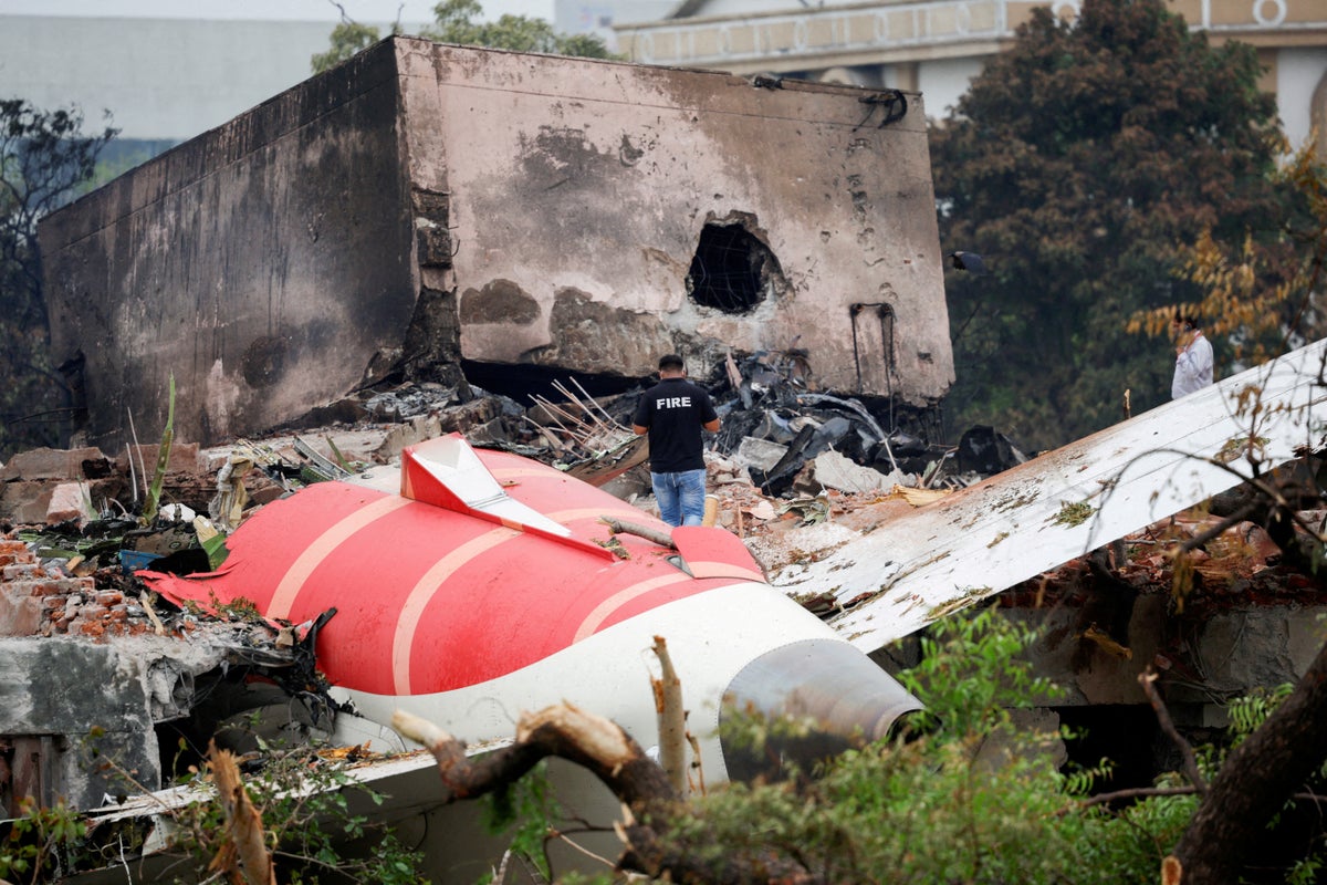
Air India plane crash

Beefy missed it.

Yes, the aft overhead panel. At our shop it’s all FO flow.

As Capt, I check it anyway. MAINT/PSEU light.

I also like to put the IRS on left side selector, and select PPOS.

Esp on a transcon, approaching Gunnison, CO. Additional QRH procedure associated with an emergency descent that is either W or East of a lat/long line. It mentions to use the aft overhead panel to see PPOS.

So by habit, I just do that for all flights.


Do you have any info for Gunnison in your QRH for emergency descent at your shop?

Hah, I think I might be the only person who does this (people normally ask what I'm doing), but if I can see we are close to Gunnison, I use the fix pages to map the initial routing inside 40 NM. Started doing it out of curiosity when I remembered that QRH item and noticed we were close, have kind of made it a habit since for no particular reason other than maybe the reason I routinely check the VNAV cruise ENGINE OUT drift down altitude and airspeeds, to build a mental picture of a typical value (its like 20-22k and 240 ish knots most of the time by the time I get bored on a transcon) Obviously only if there is IMC covering the terrain (or its nighttime). I did figure out the PPOS thing, but honestly it doesn't seem very necessary IMO. Unless you are routed very close to Gunnison, it's pretty obvious what side of that easting line you will fall on, and it seems like most of the time, our routing only tangentially touches the ring, if that.

edit: I guess at least two of us do this :)
 
Last edited:
Weird. Wouldn’t that just be a method 2 thing depending on route of flight? Seems odd an emergency descent QRH would single out a specific location in the US.

Not sure why this place is more significant than some others, but I have flown low VFR over that exact area in a Growler and it is weird having the radar altimeter warning going off at like 15k MSL in places. It's pretty damned high terrain.
 
Not sure why this place is more significant than some others, but I have flown low VFR over that exact area in a Growler and it is weird having the radar altimeter warning going off at like 15k MSL in places. It's pretty damned high terrain.

Some of those areas are darn near like northeast Afghanistan. Where if you ejected, you’d better hope you are conscious. As immediately after swat-man separation, you’d better pull the manual chute release handle, lest your hit the ground before the automatic opening device kicks in.
 
Some of those areas are darn near like northeast Afghanistan. Where if you ejected, you’d better hope you are conscious. As immediately after swat-man separation, you’d better pull the manual chute release handle, lest your hit the ground before the automatic opening device kicks in.

Yeah for sure. We normally didn't do much that far north due to tanker support, but the few times I did get there, it was very impressive how close those mountains came up to get you. Tanking at 28k ft in tanker mountain wave (not perceptible to us small wing people unless trying to stay in the basket of a heavy which was) was fun.
 
Seems odd an emergency descent QRH would single out a specific location in the US.

It must have something to do with the company’s routing for airports listed in C070 and this being the most critical situation under method 2.
 
Yeah for sure. We normally didn't do much that far north due to tanker support, but the few times I did get there, it was very impressive how close those mountains came up to get you. Tanking at 28k ft in tanker mountain wave (not perceptible to us small wing people unless trying to stay in the basket of a heavy which was) was fun.

We worked up there out of Bagram, and the ejection concern was definitely a thing. Some of the highest areas, we couldn’t even clear when loaded out just to cross over them.
 
We worked up there out of Bagram, and the ejection concern was definitely a thing. Some of the highest areas, we couldn’t even clear when loaded out just to cross over them.

Was your automatic separation initiated at similar altitude to us (14,500 IIRC)?

As for clearing terrain, that was never a problem for us, but hanging out in the tanker basket fully loaded with a combat load out approaching being topped off, you had to use a little afterburner to not fall out up in the high 20's (especially if on a KC-10, which was pretty fast around the tanker track). Which seemed a little counter intuitive.
 
Was your automatic separation initiated at similar altitude to us (14,500 IIRC)?

14,000 +/- 2000 for us. Depending on velocity and radalt sensed.

As for clearing terrain, that was never a problem for us, but hanging out in the tanker basket fully loaded with a combat load out approaching being topped off, you had to use a little afterburner to not fall out up in the high 20's (especially if on a KC-10, which was pretty fast around the tanker track). Which seemed a little counter intuitive.

Never asked the tanker to tobbagan? We often had to, if they didn’t automatically.
 
Never asked the tanker to tobbagan? We often had to, if they didn’t automatically.

No, I was too young and dumb to know about that on my first cruise when we were actually exploring the N/NE of the country. Like you say, they probably sometimes did it on their own, and I probably just thought "well that was easier than normal" in hindsight :) Let's just say I never knew about mountain wave until the airlines. Fun stuff you pick up trying out other parts of aviation/learning about them (though thats admittedly pretty basic stuff for swept wing transport category airplanes)
 
Yup. Because India still has them and the fire damage is beyond their capabilities to decode.


As the story goes, the AAIB recently spent millions upon millions (crores) of Rupees on their AAIB facilities, including "state of the art" decoding facilities, equipment, and room. And this is the first crash to use new space/equipment... and... they can't.


So at this point, saving face is more important than getting truth in a timely fashion. *Insert Indian head nod*

probably just need to clear the cookies and cache
 
Back
Top