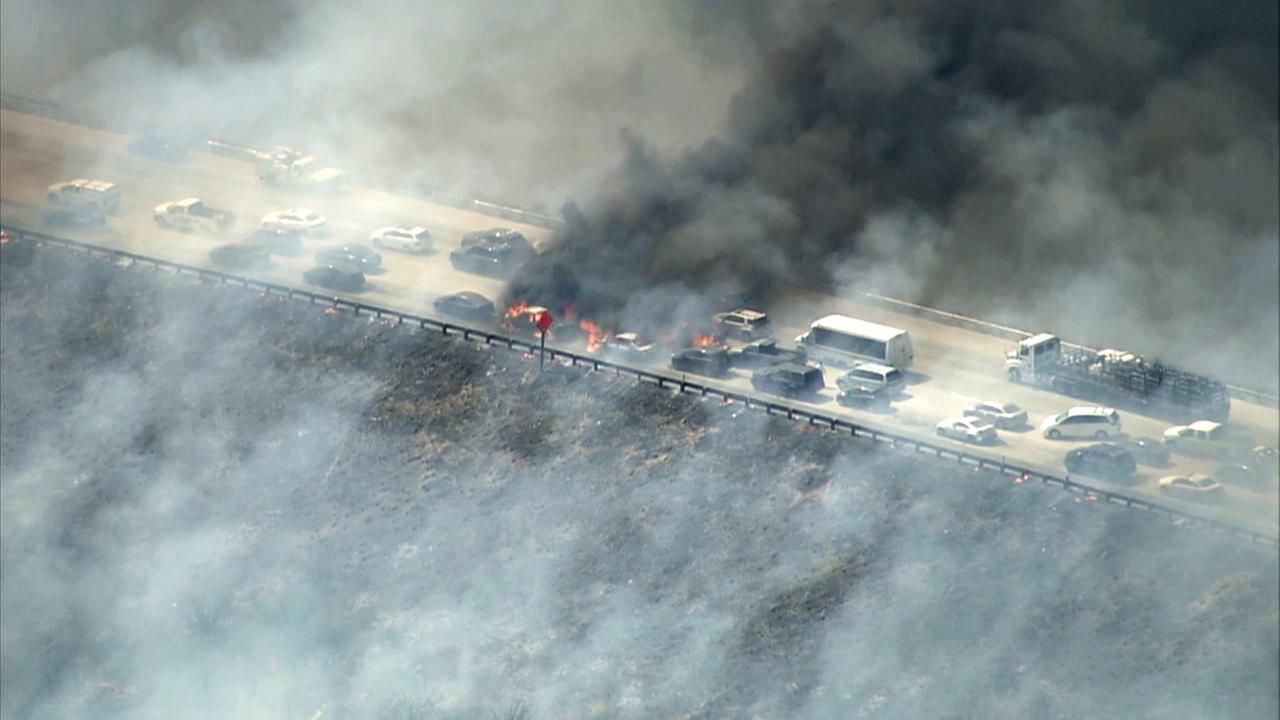
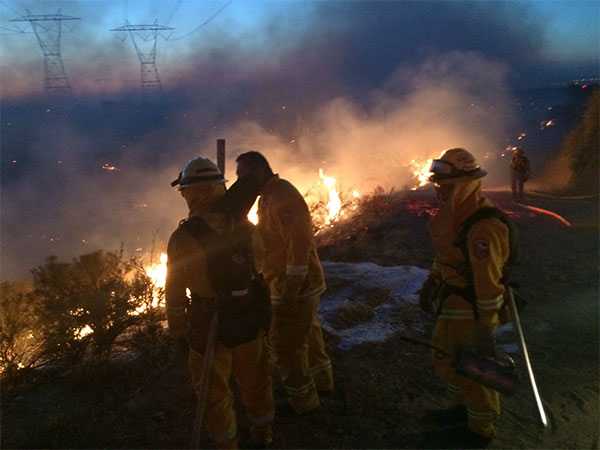
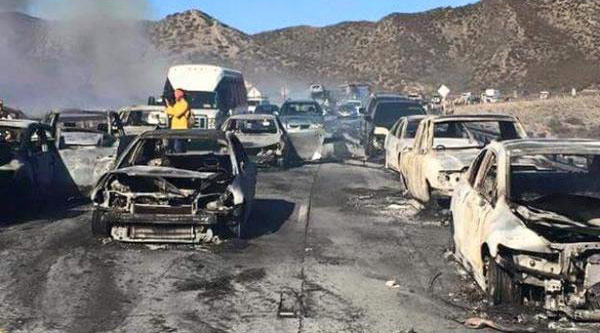
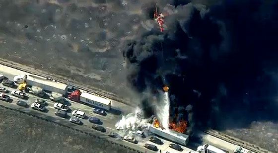
Just as a note, I have no idea what the causes may be in other states out West, but in California (and this has been the case for many years), the majority of wild fires are caused by people...either arsonists or careless people who start/cause them in a variety of ways. They are hardly "natural" in their occurrence. While we do have some that are caused by lightening, that tends to usually occur in Northern California. Only 5 of the 20th deadliest fires here were caused by lightning. Cal Fire alone responded to some 2,100 wildfires in 2014, and 90% of them were caused by people.