Or this:
View attachment 34471
Show me a 10,000 hour pilot who, flying a "pre-determined route at a pre-determined altitude" who will do substantially better than a "1000-hour wonder" when the magic goes dark and they're solid IMC. At that point, in a 207, you have a compass and a clock, and an hour of gas if you're conservative.
I've heard three completely different statements in regard to this, from the same people:
- Why are you worried about the weather? You've got GPS.
- Why are you worried about a failing GPS? It's a VFR operation!
- Why would you dispatch any differently in one airplane versus another? It's either doable or it's not. (But the competition is going, so...)
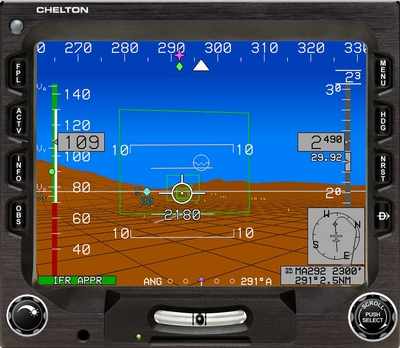
(In an airplane without a chelton, but with a Garmin 530 (with no Alaska database) (But it has radar!)
IFR airplanes, maintained to IFR standards, with reduced-separation non-radar IFR routes and procedures that can be safely flown by low-performance single engine airplanes at MGW, and IFR-qualified and capable pilots... or this will continue indefinitely.
Capstone phase II was the right idea, I think. But the airplanes need to be redundant and well-maintained to do it safely. As long as operators are allowed to fly on these certificates on a shoestring budget, the carnage will continue.
I always had my phone running Foreflight as a backup when the weather was crappy, but I don't WANT to be comfortable doing that. I have tasted it, and I have decided that I don't like the taste, and I don't like risking the passengers.
Otherwise I guess I mostly agree with
@ppragman.
Rugged terrain, few usable navaids, no radar coverage, no radio coverage, much ice above you, and a much larger chance of losing 100% of your navigation ability while pointing towards, and below the tops of, big rocks.
Sent from iPhone—forgive any typos.
-Fox