A Life Aloft
Well-Known Member
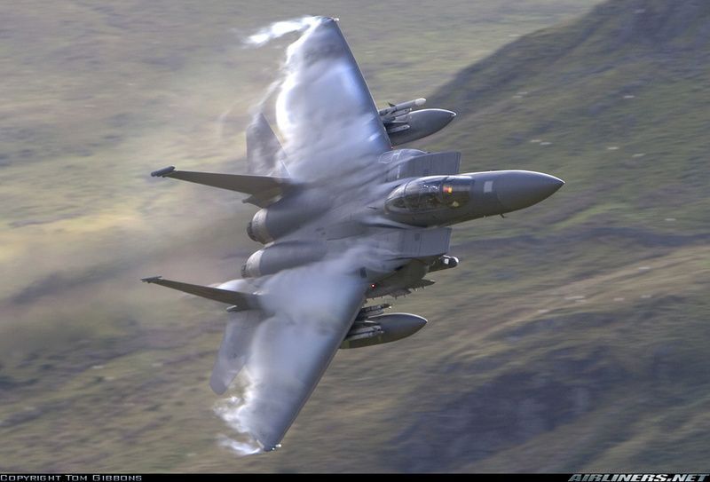
The 'Mach Loop' is a set of valleys situated between Dolgellau in the north (north-west Wales), and Machynlleth in the south (and from which the Mach Loop gets its name), which are regularly used for low level flight training with flying as low as 250 feet from the nearest terrain.
Same course as seen from a Typhoon
Same course as seen from a Typhoon