Wardogg
Meat Popsicle
Ive seen conflicting reports on number aboard and tail number.
Some as high as 10 pax.
 www.thv11.com
Some as high as 10 pax.
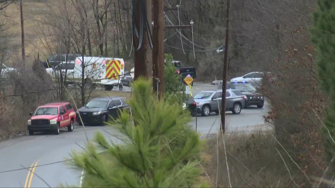
Five people dead after plane crash near Little Rock 3M plant
A plane crashed and killed five people near the 3M Plant in Little Rock this afternoon, according to officials.
www.thv11.com


